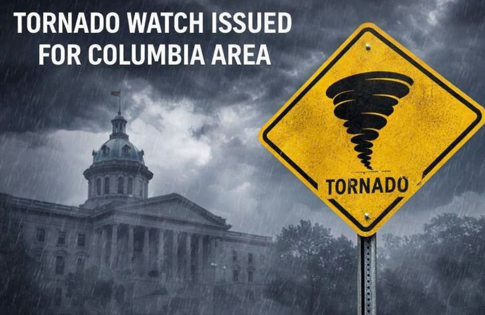
A tornado watch has been issued for the Columbia area, as severe thunderstorms are forecast for the region. This has put much of the Midlands region in the state of South Carolina on alert on Thursday morning. According to reports, a powerful weather system is moving through the region and may cause damaging winds, heavy rain, and possibly brief tornadoes.
The National Weather Service has reported that a tornado watch has been issued for the entire Midlands region in South Carolina and is in effect until 1 p.m. on Thursday. According to the weather forecasters, a strong cold front is moving through the region during the morning and early afternoon hours.
As the storm system moves through the region, residents in the Columbia, South Carolina, area may experience periods of heavy rain and thunderstorms. As the cold front moves through the region, temperatures in the upper 60s during the early morning hours will drop to the 50s.
Weather officials have indicated that there is a possibility that strong to severe thunderstorms could form, particularly in the southern Midlands. Damaging wind gusts have been the primary concern, but there is also a chance that there could be a brief tornado.
Earlier on Thursday morning, Richland County, South Carolina, Lexington County, South Carolina, and Fairfield County, South Carolina, were under a tornado watch due to a storm system moving into the Columbia metropolitan area.
At the South Carolina State House, lawmakers and staff have taken refuge in an underground parking garage while the watch was in effect.
According to meteorologists, wind speeds of more than 40 mph are expected during severe storms. In some areas, wind speeds could be even higher, leading to damage. The strong winds or a possible tornado could cause damage to tree limbs, roofs, and mobile homes or structures. Vehicles could also be affected if severe storms intensify.
Falling tree limbs could cause power outages due to downed power lines. The severe storms are expected to leave the Columbia area by the afternoon; however, breezy conditions are expected to persist into the evening. Due to the strong winds, a wind advisory has been issued by the National Weather Service. The wind advisory is from 10 a.m. to 8 p.m.
The forecast for rain probability is at 100%, and the rainfall could be as much as half an inch. There is also the possibility of thunderstorms that could bring more rainfall.
The weather will clear up quickly after the storms on Thursday. On Friday, the sun will shine through the clouds, and the temperature will be back up in the 60s. Warm weather is also in the forecast for the weekend, with temperatures possibly reaching the mid to upper 70s.